
The incident occurred on the N60 Castlebar-Claremorris road in Balla
Search
26 Mar 2026
Please allow ads as they help fund our trusted local news content.
Kindly add us to your ad blocker whitelist.
If you want further access to Ireland's best local journalism, consider contributing and/or subscribing to our free daily Newsletter .
Support our mission and join our community now.
To continue reading this article, you can subscribe for as little as €0.50 per week which will also give you access to all of our premium content and archived articles!
Alternatively, you can pay €0.50 per article, capped at €1 per day.
Thank you for supporting Ireland's best local journalism!

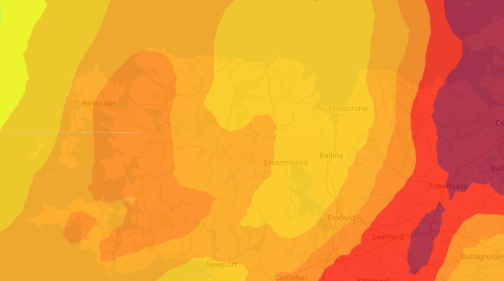
The Status Yellow Orange and Red Weather warnings from Met Éireann could lead to localised flooding. Crossmolina (pictured above from a previous flood) has been prone to surface water issues

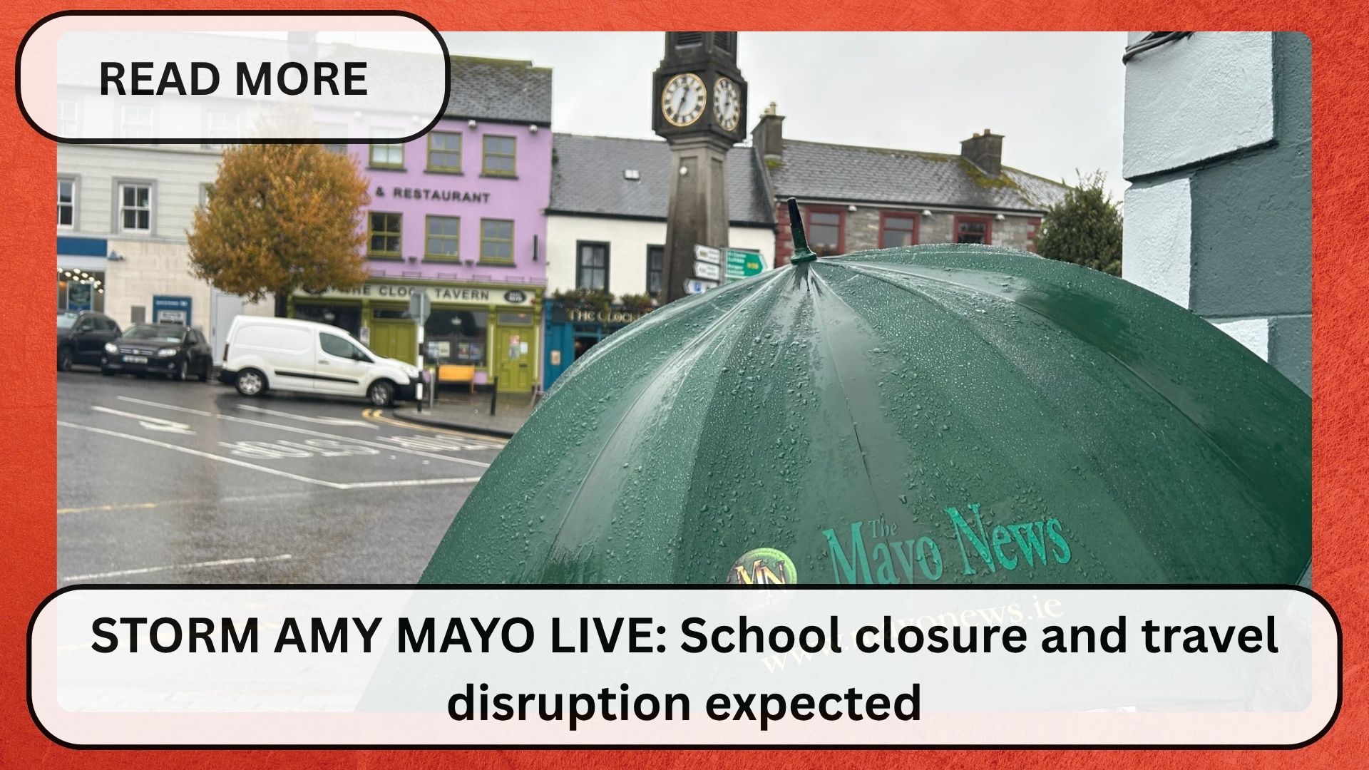
As Mayo battles through the throes of Storm Amy, many are anticipating local flooding in the midst of heavy rainfall across the county.
Many waking up this morning are seeing plenty of surface water as the Status Yellow, Orange, and Red weather warnings take grip around the county.
People are also wondering how the potential floods are affecting different parts of the county.
Thankfully, the European Flood Awareness System have created an interactive map to show the accumulated precipitation over a 24-hour period in Mayo.
The map shows that the east of the county appears to have taken the brunt of the rain, with the N17 from Charlestown to Kilkelly in the darkest shade of red.
Those who are interested in keeping track as the situation develops can do so by clicking here.


Subscribe or register today to discover more from DonegalLive.ie
Buy the e-paper of the Donegal Democrat, Donegal People's Press, Donegal Post and Inish Times here for instant access to Donegal's premier news titles.
Keep up with the latest news from Donegal with our daily newsletter featuring the most important stories of the day delivered to your inbox every evening at 5pm.
This publication supports the work of the Press Council of Ireland and Office of the Press Ombudsman, and our staff operate within the Code of Practice of the Press Council. You can obtain a copy of the Code, or contact the Council, at www.presscouncil.ie, Lo-call 1800 208 080 or email: info@presscouncil.ie.


